Geofences and Geocoding
GovCIO COMMANDLINK includes geofence and geocoding workflows in the web interface.
Use the Geofences tab to review existing geofences, create new geofences, and look up locations with forward or reverse geocoding.
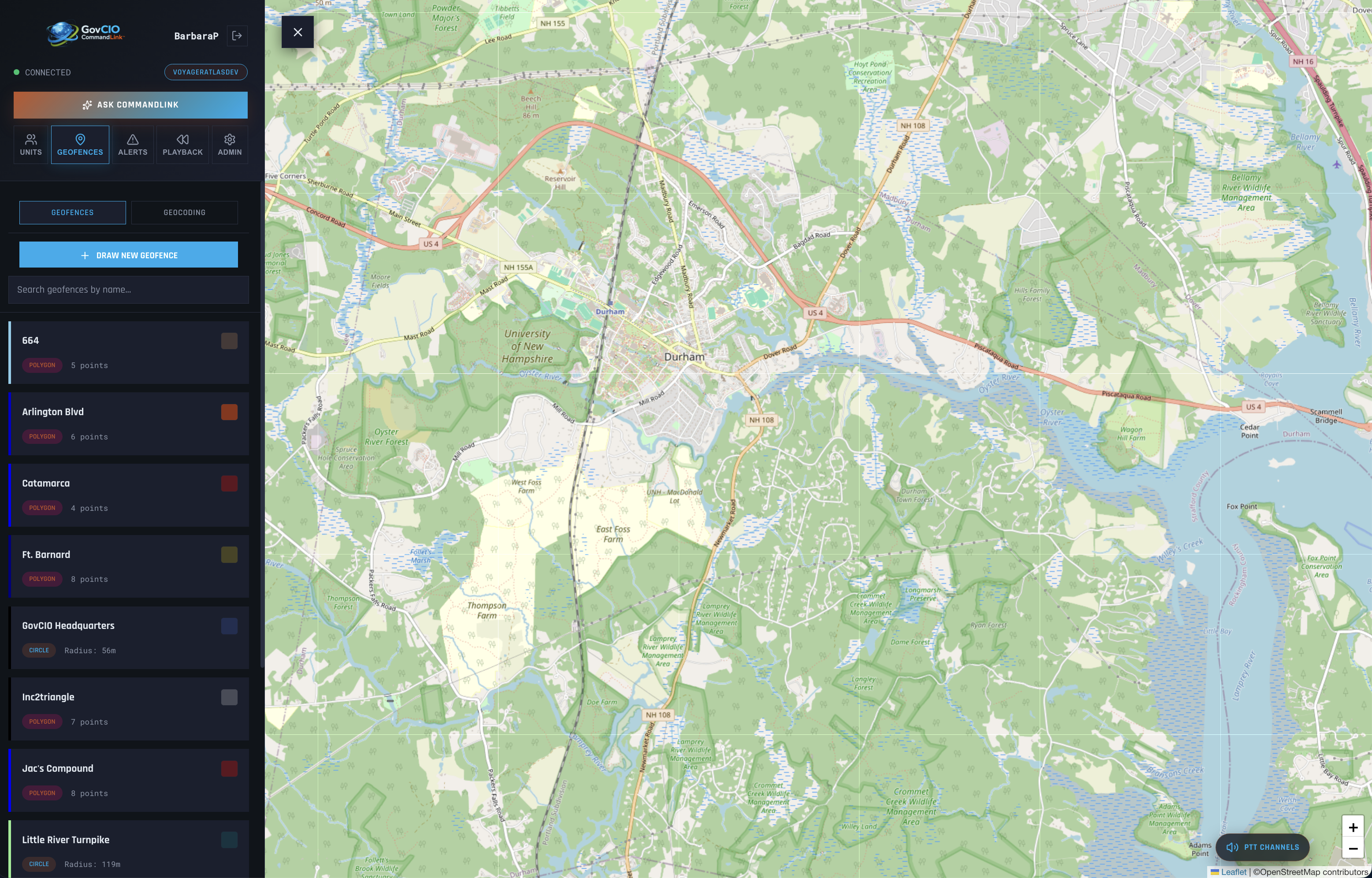
GovCIO COMMANDLINK geofences list view
Geofence Tasks
Open the Geofences tab to review the currently available geofences.
GovCIO COMMANDLINK geofences list view
Search the list when you need to locate a specific geofence by name.
Use Draw New Geofence to begin placing points on the map.
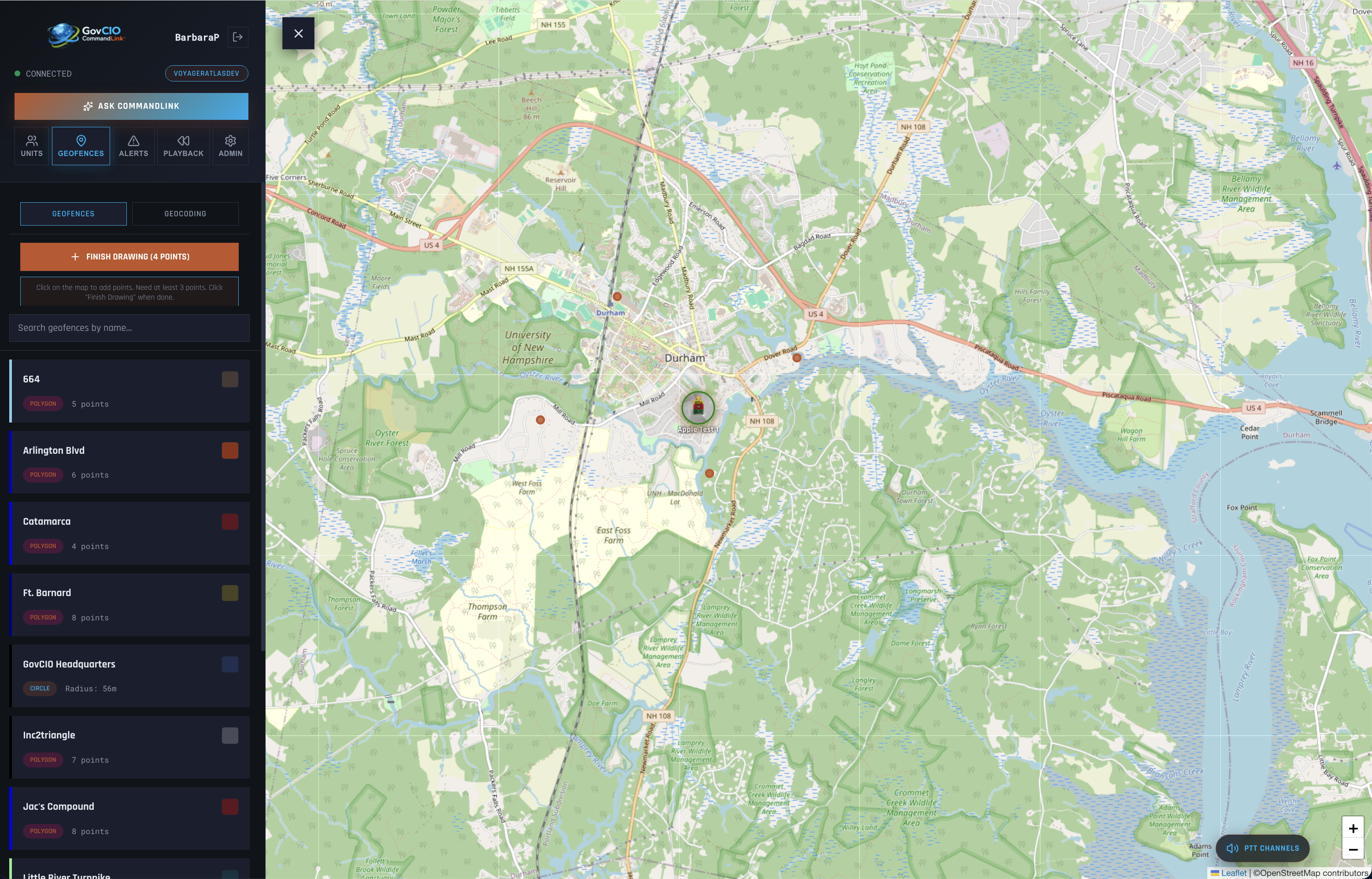
GovCIO COMMANDLINK geofence drawing workflow
Finish the drawing by tapping FINISH DRAWING (X Points) when enough points have been added.
Save the geofence by completing the form with a name, fill color, border color, and transparency setting.
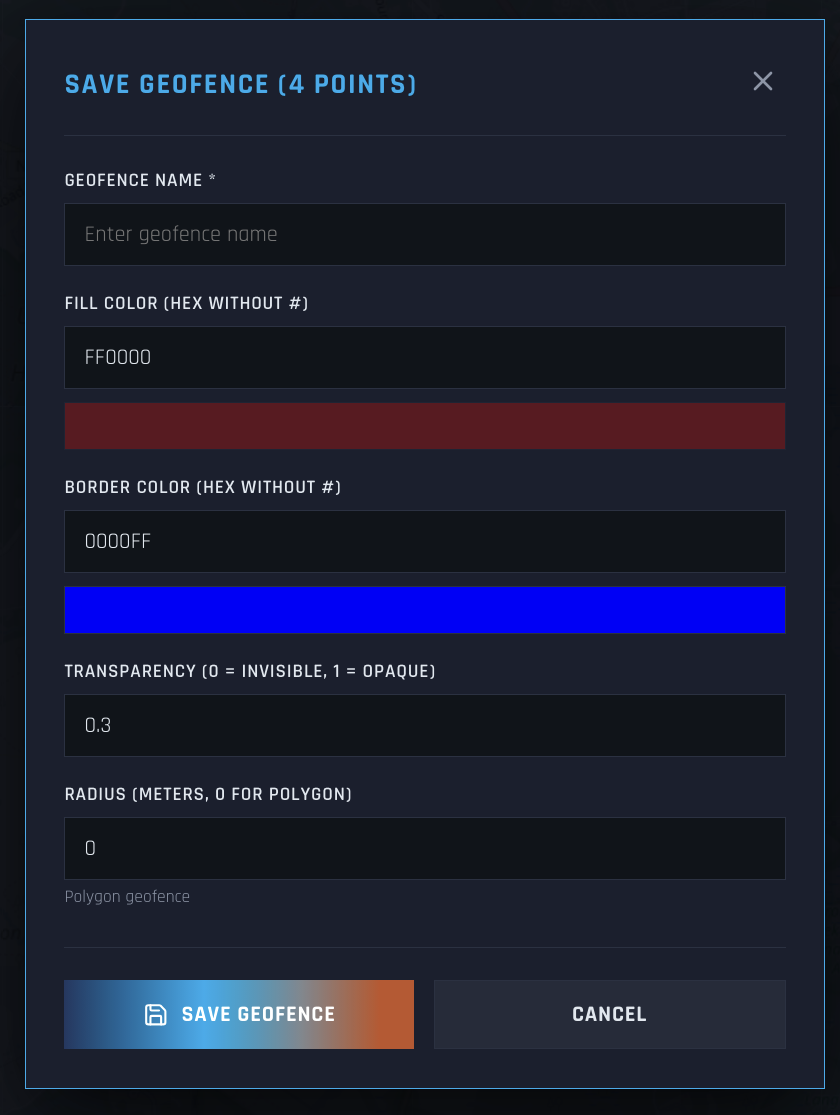
GovCIO COMMANDLINK geofence save workflow
Geocoding Tasks
Use forward geocoding to search for an address or place name.
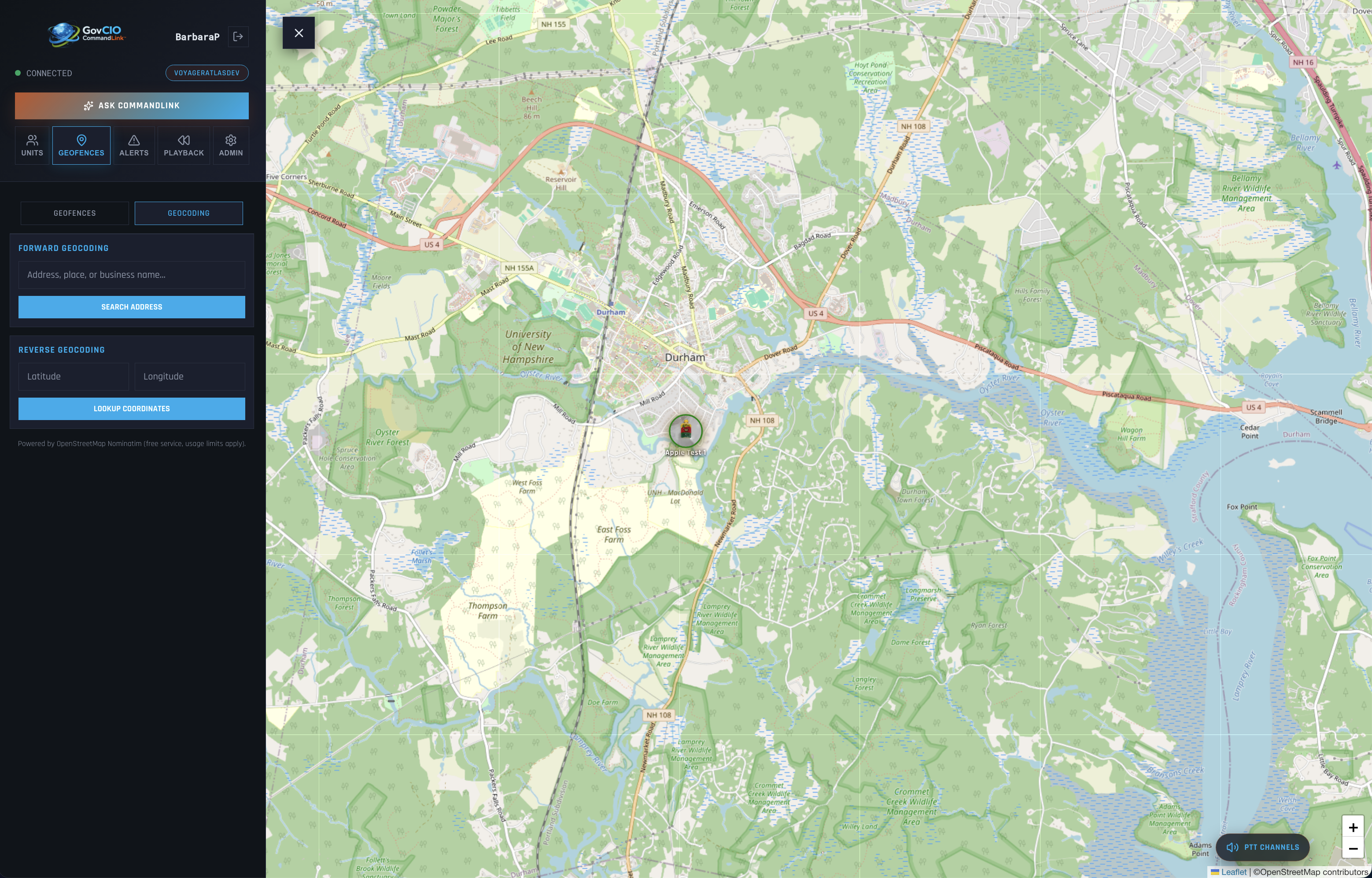
GovCIO COMMANDLINK geocoding workflow
Use reverse geocoding when you need to identify a location from latitude and longitude values.
Recenter the map on a result to continue review or drawing work.